For anglers
Find edges, mixed ground, rock patches and wrecks before you burn fuel looking for structure.
Irish Seabed Charts
Maranox gives Android boaters an offline view of Irish seabed depth, contour lines, ground type, wrecks and their own marks.
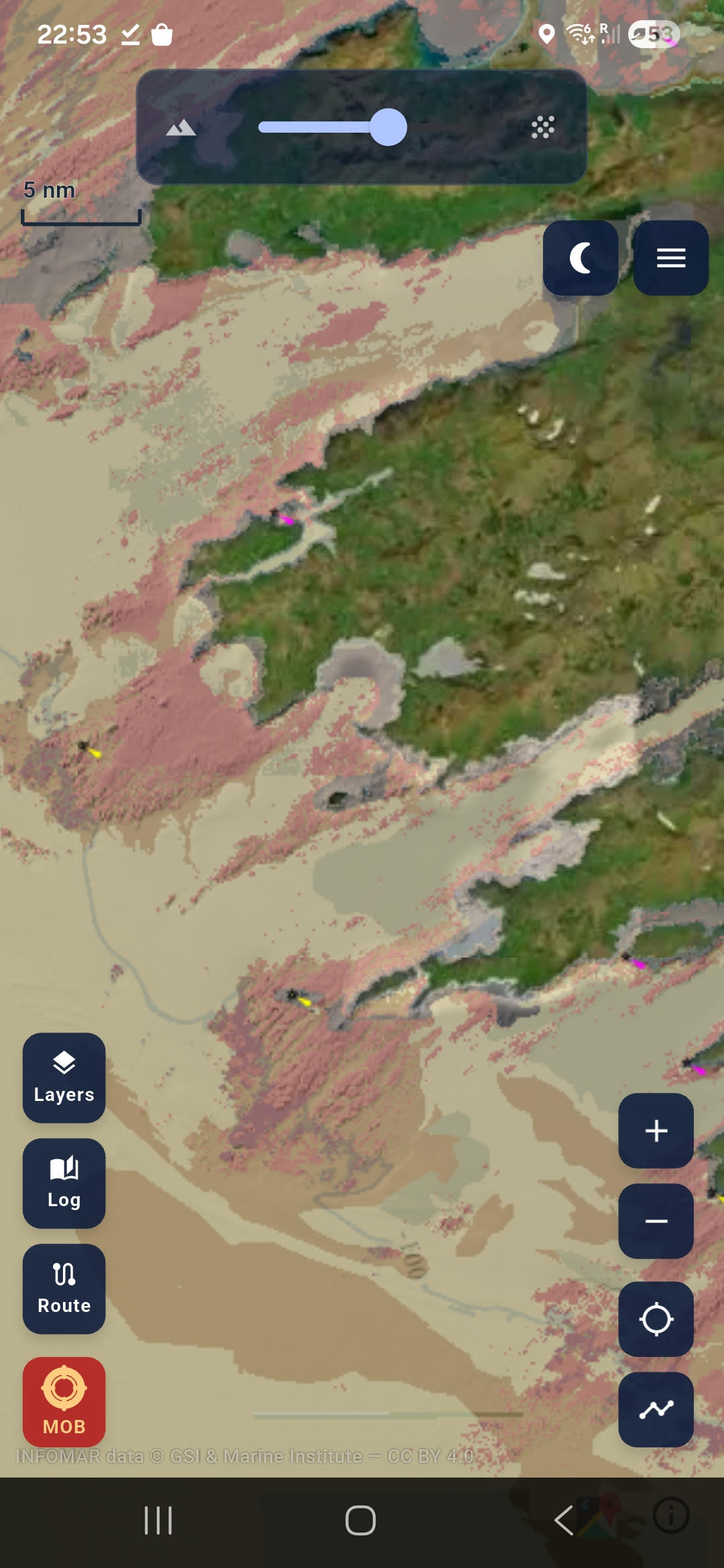
Find edges, mixed ground, rock patches and wrecks before you burn fuel looking for structure.
Keep an offline Irish chart on the phone for planning, marks, routes and backup awareness.
View wrecks with depth, contour and seabed context before you plan the dive.
Download the chart packs over Wi-Fi before you go. At sea, Maranox can load the downloaded seabed layers from the phone instead of depending on mobile coverage.