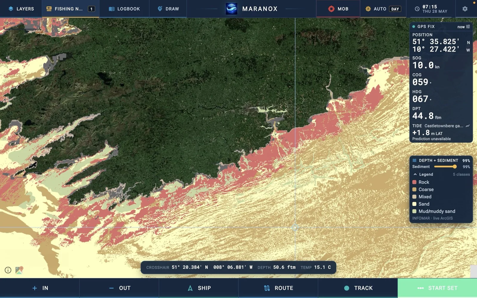
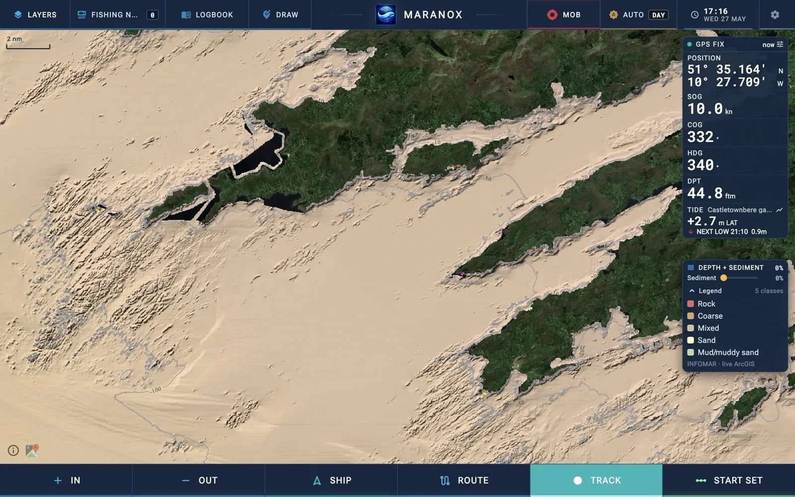
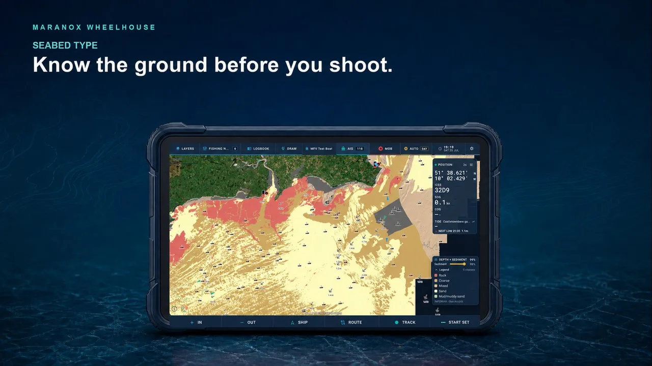
Know the ground
Move between depth, contours and sediment. See where rock, sand, mud and mixed ground meet.
Irish seabed data for the way you work
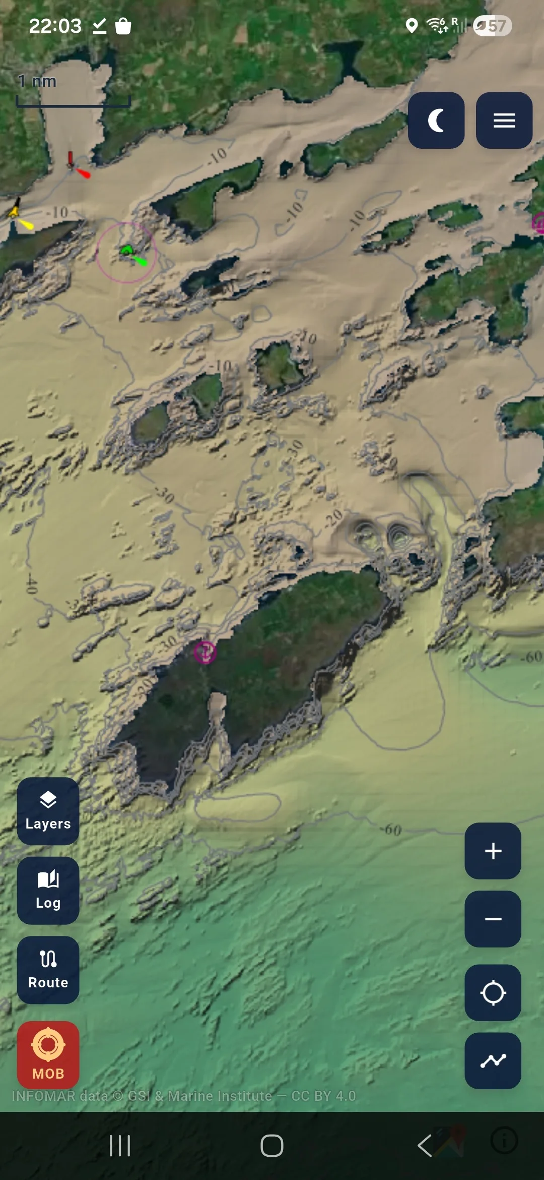
Maranox puts Ireland’s seabed, your position and the tools for marks, routes, tracks and fishing work in one clear view—from phone to Wheelhouse to desktop.
For planning and situational awareness. Use alongside approved navigation equipment.
 Maranox MobileMarine tools on your phone
 At the helmWheelhouse Desktop
The working picture
Detailed Irish seabed data becomes more useful when it sits beside the marks, routes, tracks and fishing information you use every day.
Move between depth, contours and sediment. See where rock, sand, mud and mixed ground meet.
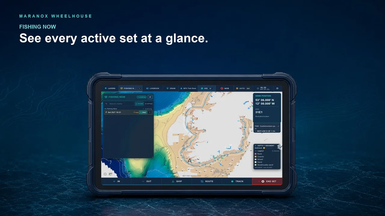
See active sets and soak times without searching through yesterday’s marks and tracks.
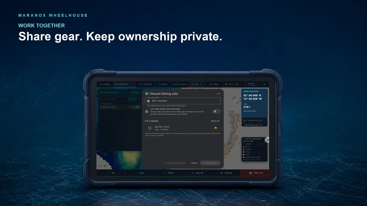
Help selected Maranox boats see live gear in the water, with privacy and removal under your control.
Start on the screen in your pocket
Maranox Mobile is live on the App Store and Google Play. Wheelhouse is live on Google Play for Android, with iPad testing and Desktop access handled directly through Maranox.