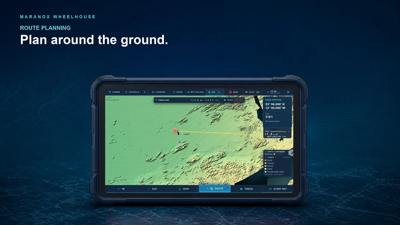
Plan a route
Build a passage with distance, bearing and the seabed context still visible.
 Maranox Desktop
Use the computer already fitted in the wheelhouse for a large seabed view, offline Irish seabed data, fishing marks, routes, tracks and layers with room to work.
For planning and situational awareness. Use alongside approved navigation equipment.
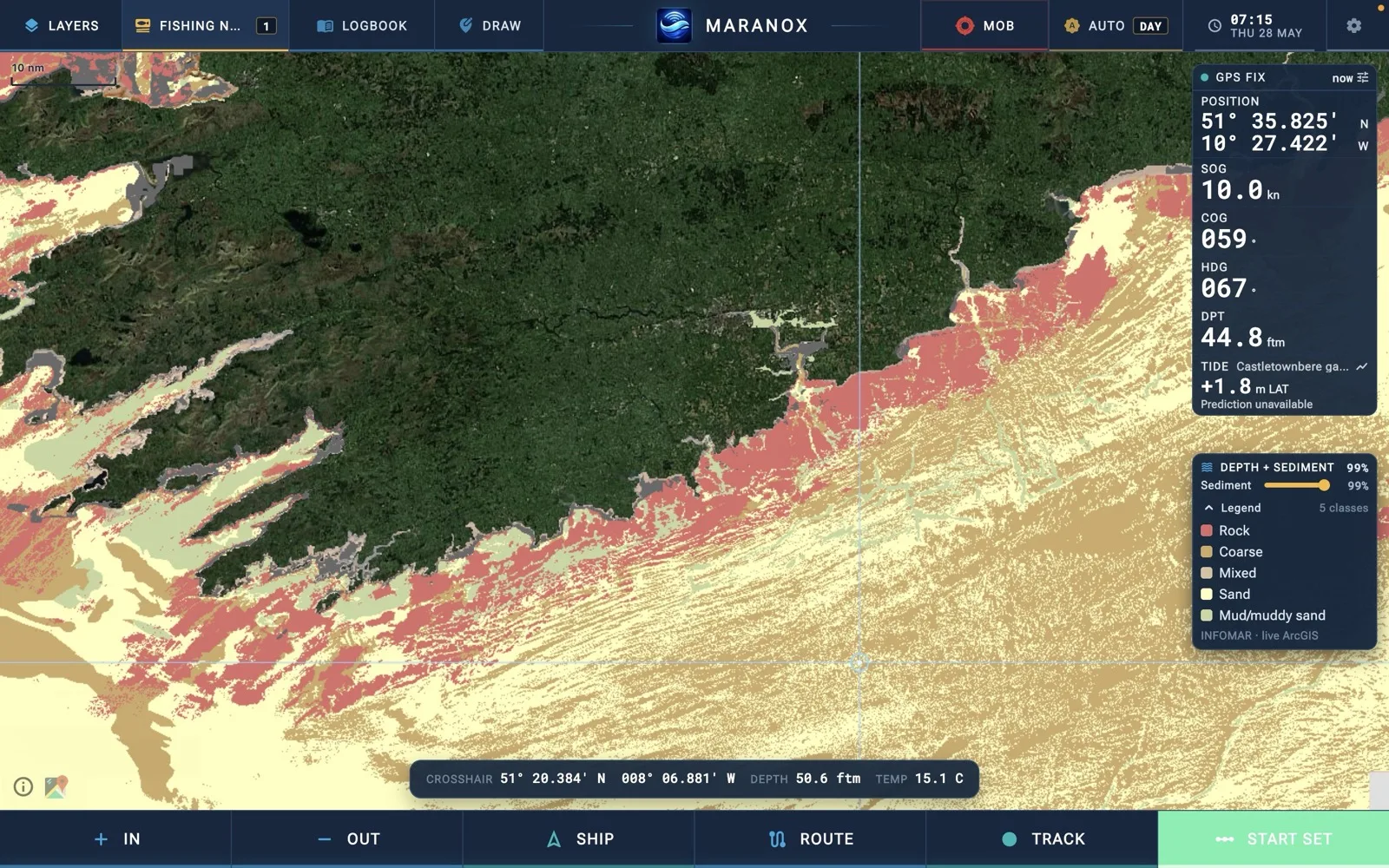
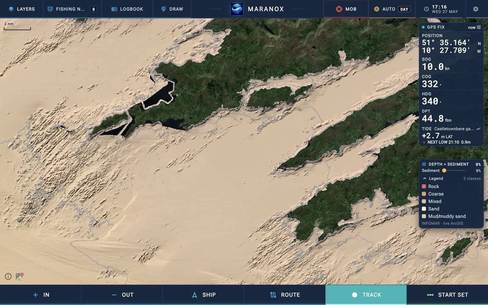
Room to read the ground
See coastline, detailed depth, cursor position, vessel data and the tools you reach for at the helm without squeezing the chart into a small display.
Desktop is for the computer already installed on the boat; Wheelhouse is the dedicated rugged touchscreen.
Actual working views
Each screen below shows a different part of the Maranox working interface—not the same screenshot repeated behind different claims.
Build a passage with distance, bearing and the seabed context still visible.
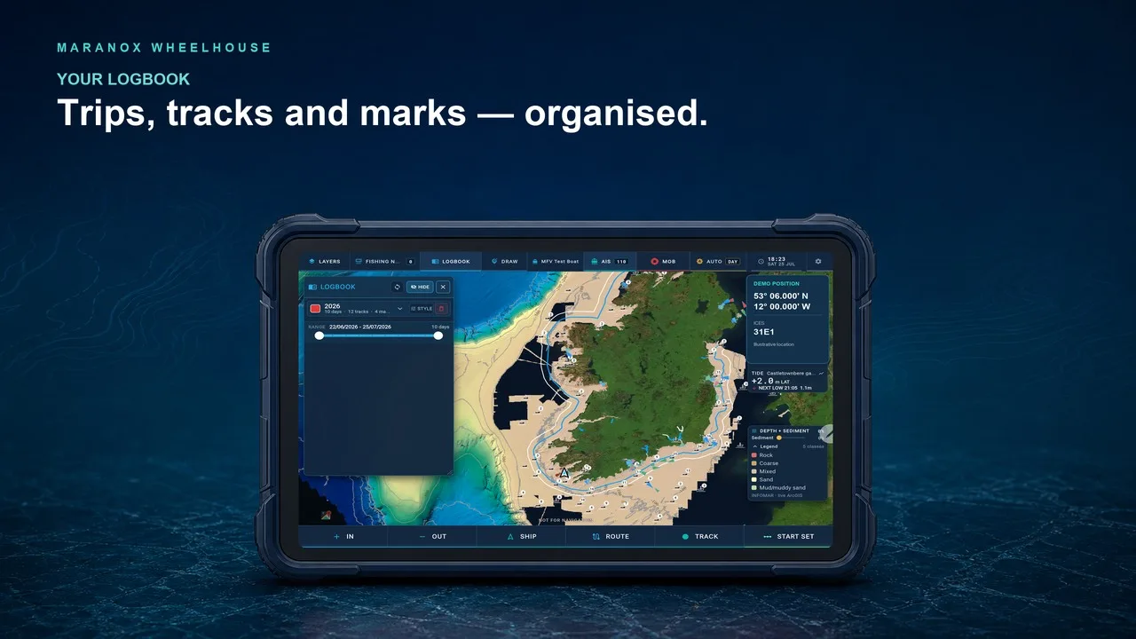
Step through previous trips, tracks and marks on the larger desktop workspace.
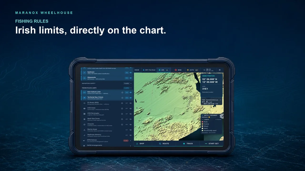
See relevant fishing boundaries alongside the route and the ground.
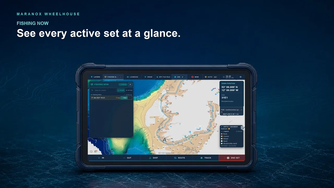
Separate the gear fishing now from historical marks and completed work.
Set up around the boat
Run Maranox on Windows, Linux or Mac, connect supported boat position data and keep eligible map packs available when the connection drops away.
Desktop access
Desktop costs €500 once for the purchased software version on one activated computer. Cloud backup, sync and sharing are optional at €49 per year. Your software and locally saved tracks keep working if you stop the cloud plan.
Desktop access is handled directly while testing continues. Technician installation is quoted separately. Tell us the vessel, computer platform and display you plan to use.