Built in Ireland
Maranox is made by Brian Sheehan and Donncha Lowney under MARANOX TECHNOLOGIES LIMITED for Irish water first.
Press Kit
Maranox turns the Irish state's INFOMAR seabed survey into offline marine charts for Android boaters, anglers, divers, RIB owners, sailing schools and coastal clubs. iPhone access is following the Apple review path.
The Story
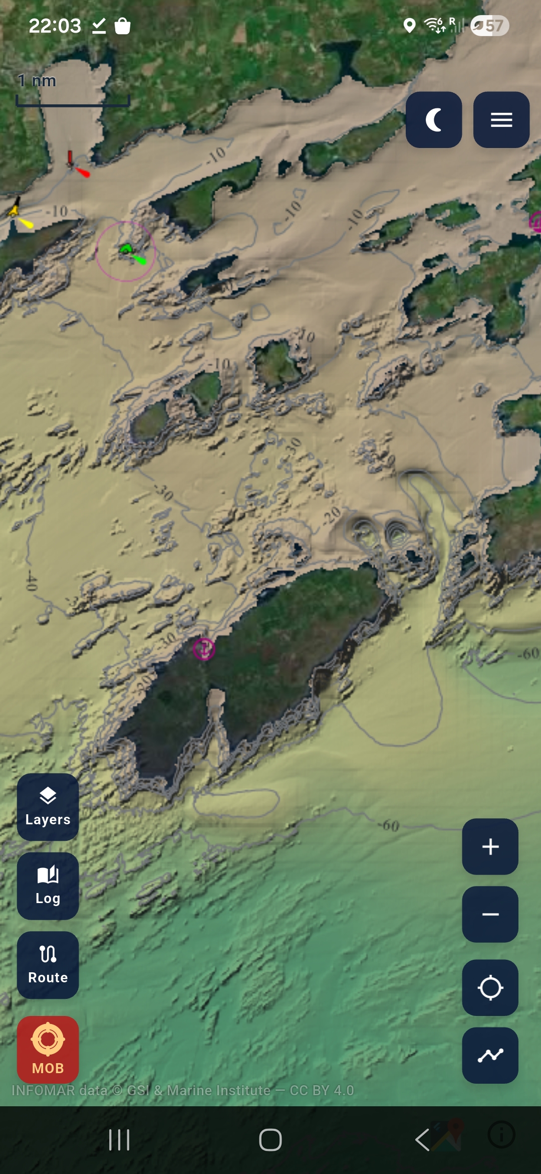
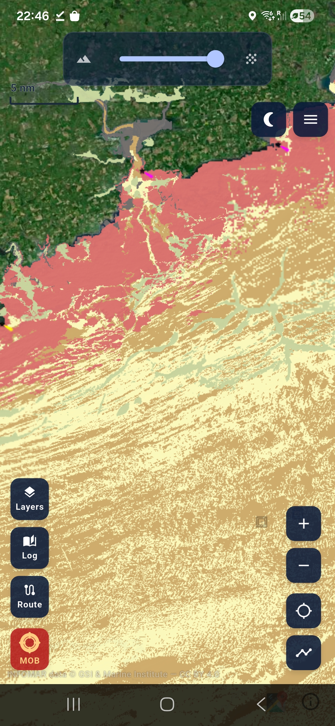
INFOMAR is Ireland's national seabed survey, run by Geological Survey Ireland and the Marine Institute. Maranox brings that data to the screen boaters already carry: depth contours, ground type, wrecks, GPS plotting, marks, tracks, routes and offline chart packs.
Maranox is made by Brian Sheehan and Donncha Lowney under MARANOX TECHNOLOGIES LIMITED for Irish water first.
The consumer Maranox phone app is live on Google Play under MARANOX TECHNOLOGIES LIMITED. Phone pricing is EUR29.99/year or EUR6.99/month with a 14-day trial where offered. iPhone access is following Apple's review path.
Maranox is a planning and situational-awareness tool, not a certified primary navigation system.
Facts
Contact
Email contact@maranox.ie. Public website: maranox.ie. Publisher: MARANOX TECHNOLOGIES LIMITED. Google Play: Maranox on Android. iPhone/App Store queries: contact@maranox.ie.