Angling
Look for changes in ground type and depth edges before choosing a drift or mark.
Galway Bay
Maranox helps Galway Bay boaters inspect INFOMAR depth contours, ground type, wrecks, marks and routes from an Android phone.
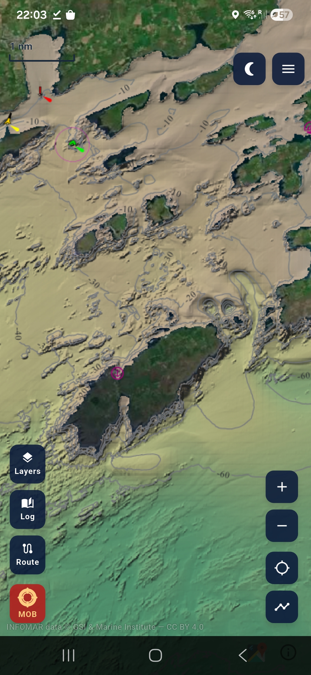
The west coast is exactly where offline chart packs matter. Download the Irish packs on Wi-Fi, then use Maranox to review seabed layers, saved marks and routes while afloat.
Look for changes in ground type and depth edges before choosing a drift or mark.
Use the phone as a planning and backup-awareness screen with offline layers.
Inspect wrecks and seabed shape in one chart before planning a dive.