Dublin Bay
Phone chart backup for Dublin Bay boaters.
Maranox gives Android users offline Irish seabed charts for planning around Dublin Bay: depth, ground type, wrecks, saved marks, routes and tracks.
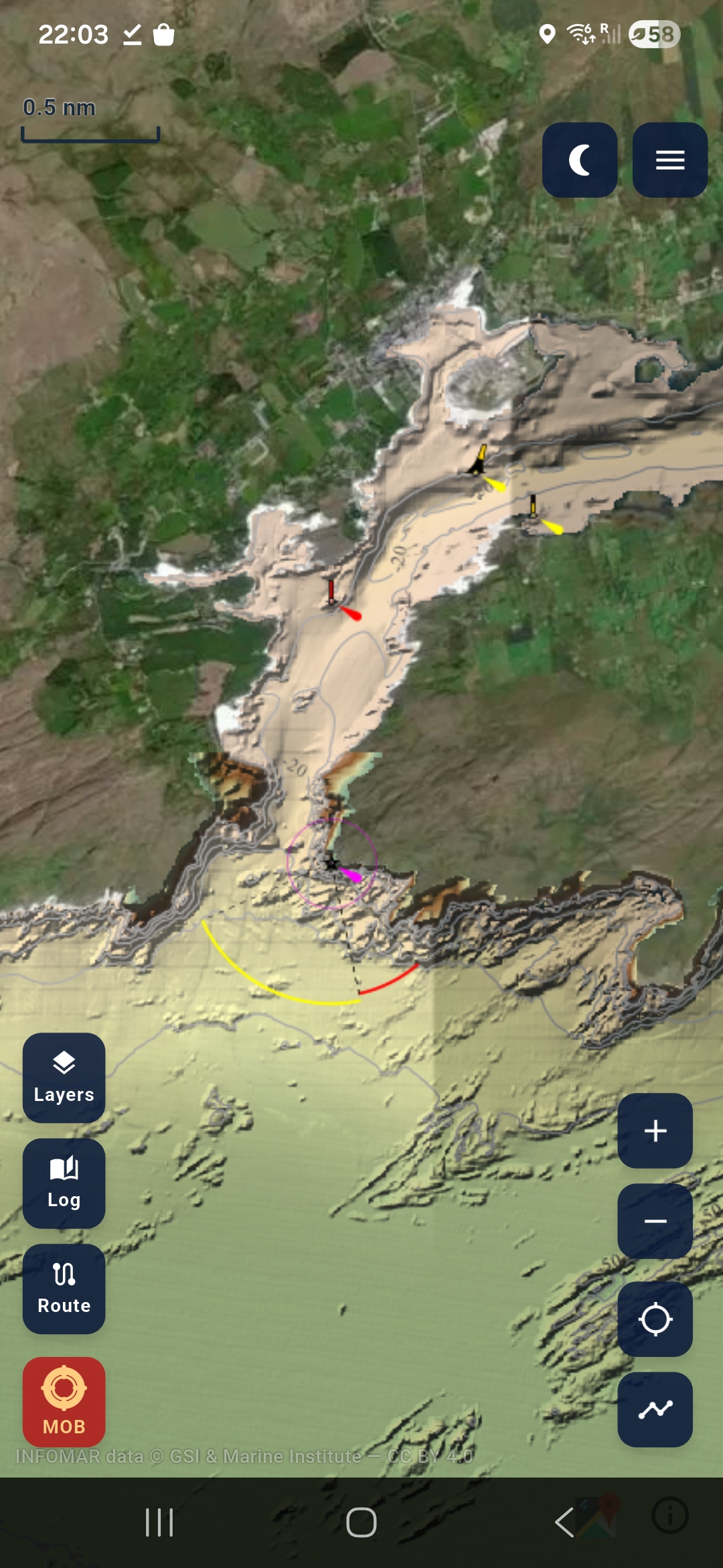
For clubs, RIBs, kayakers and coastal users.
Dublin Bay is busy water. Maranox is not a primary navigation system, but it is useful for pre-trip planning, explaining seabed features, saving marks and keeping an offline chart layer on the phone you already carry.
- Review depth contours and ground type before a trip.
- Save marks and record tracks for repeat club routes.
- Use downloaded layers when mobile coverage is weak.
Always use certified navigation equipment, official charts and proper safety procedures. Maranox adds local seabed context.