Cork Harbour
Cork Harbour depth, ground type and marks on Android.
Plan around Cork Harbour with offline Irish seabed charts, sediment classes, wrecks, saved marks, routes and GPS tracks in Maranox.
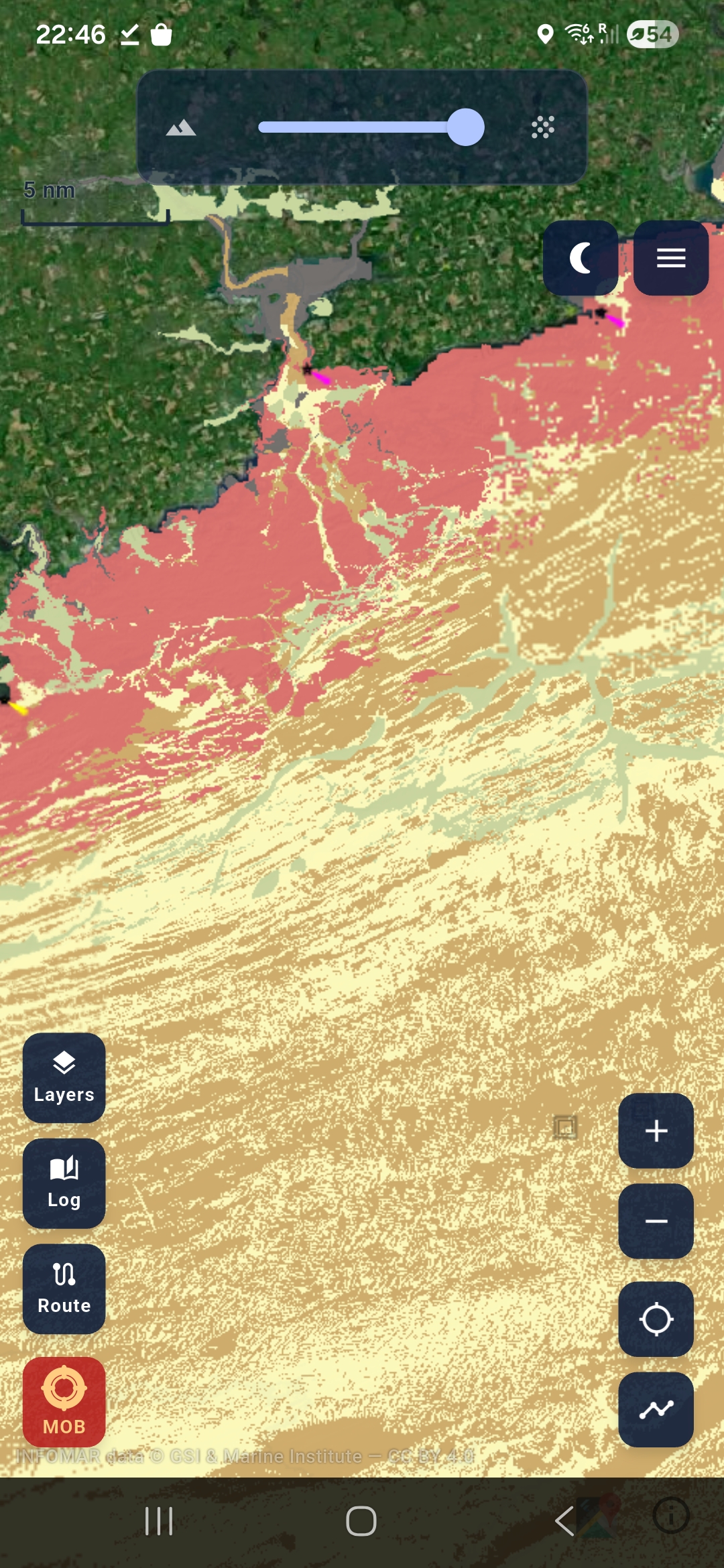
For Cork anglers, RIBs and harbour users.
Cork Harbour changes quickly from channels and shallow banks to rocky edges and outside water. Maranox helps you inspect the seabed before you leave, then save your own fishing marks, anchorages, hazards and trips over the same chart.
- Look for rock, mixed ground, sand and mud transitions.
- Check depth contours before planning a short harbour run.
- Keep downloaded chart packs available without mobile signal.
Use Maranox as an extra planning screen, not as your primary navigation system. Always carry the correct safety gear.