Depth
Read the contour lines and seabed shape around the wreck.
Shipwreck Map Ireland
Maranox puts Irish wrecks on an offline Android chart, alongside INFOMAR depth contours and ground type so divers and anglers can see what surrounds each wreck.
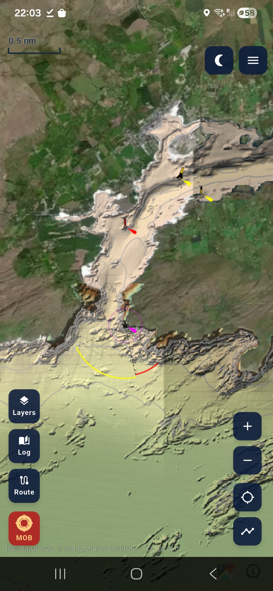
A wreck is more useful when you can see the surrounding seabed. Depth, contour shape and ground type help you understand the site before you leave the harbour.
Read the contour lines and seabed shape around the wreck.
See whether the surrounding ground is rock, sand, mud, mixed or coarse.
Download packs before the trip and keep the wreck chart available away from signal.